Answer:
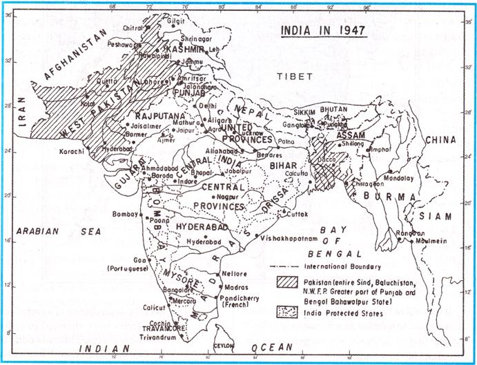
If we look at the political map of India when it began its journey as a democracy in 1947 and that of 2006 we are surprised by the extent of the changes.
Comparative analysis of 1947 and 2006 India and its journey of federalism.
Map 1947 India
Map 2006 India
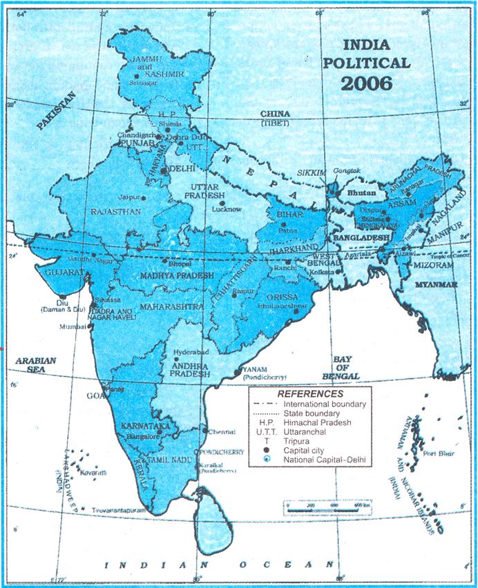
(i) Many old states have vanished and many new states have emerged. Areas boundaries and names of the states have been changed.
(ii) In 1947 the boundaries of several old states of India were changed in order to create new states. This was done to ensure cultural unity and linguistic identity e.g. Tamil Nadu.
(iii) Some states were created to recognise differences based on culture ethnicity or geography. These states include Nagaland Uttarakhand and Jharkhand.


You need to login to perform this action.
You will be redirected in
3 sec

